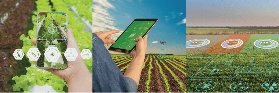
Crop Scouting & Monitoring Division
Innovative Crop Monitoring Tools
Interactive Team Management
The CAI’s team management function puts you in control of what’s happening across your operation. Use it to manage assigned roles among employees and contractors, monitor activities, mark out the GPS coordinates of fields and add descriptions to assigned tasks through our HiredMan app.
Cloud Screening
Cloud cover is the bane of satellite imaging. CAI’s innovative technology uses an in-house GIS Library to screen out clouds from every satellite image acquired. We also provide growers with synthetic aperture radar satellite images that can penetrate through cloud cover during acquisition of satellite imagery, offering quality analysis of growers’ fields based on high resolution images at 2-5days interval.