Crop Scouting and Monitoring Division
GIVING YOU AN EARLY HEADS-UP
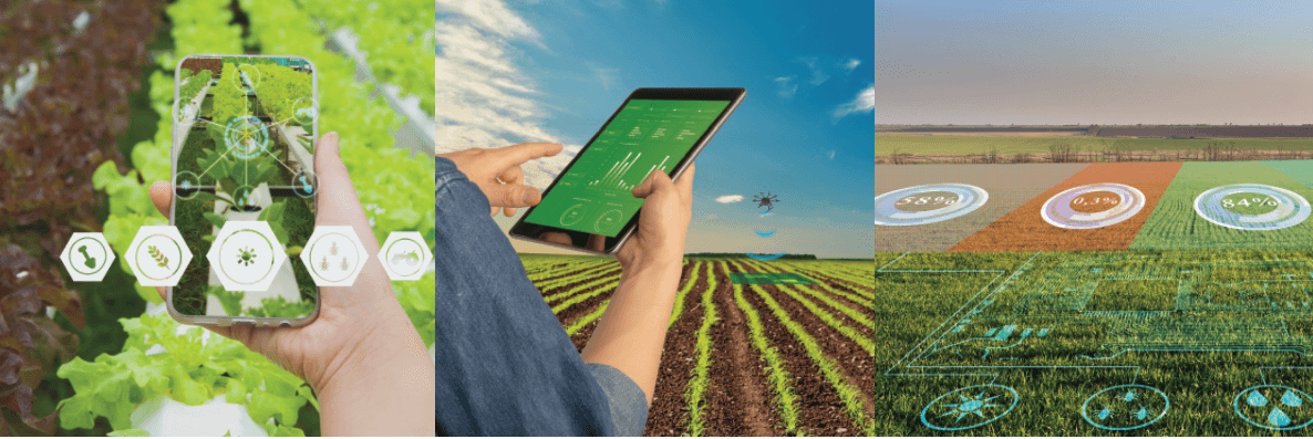
We use unmanned aerial vehicles, referred to as UAVs or drones, to optimize crop scouting of your fields, in combination with our proprietary Al-driven database of satellite imagery, to help you proactively detect issues such as early crop stress or pest or disease infestations. Crop health is monitored every two or three days, detecting potential issues before they are visible to the naked eye, directing you or your agronomist to any trouble spots and enabling you to make decisions on what actions to take.
We provide detailed meteorological data with suggestions for favourable seeding days or spraying days. Our environmental analysis during the growing season can identify potential diseases, offer information for decisions regarding additional crop nutrients and provide estimates of crop yields.
Hailstorms can be devastating setbacks. Our drone and satellite imagery services help growers understand the true extent of their losses and determine their next steps. This information can also assist hail insurance adjusters in their work.
AI-Driven Crop Monitoring
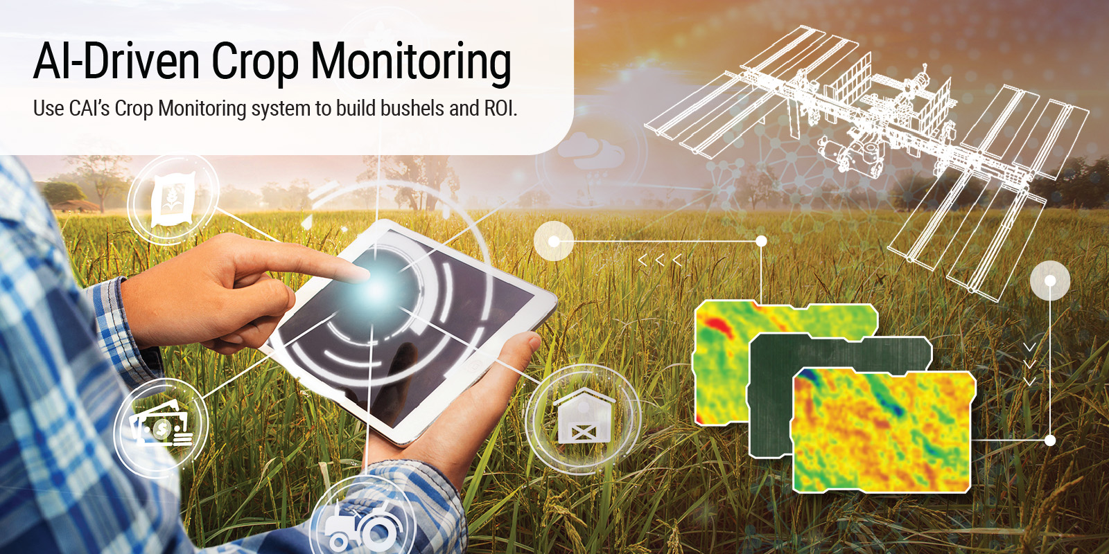
Use CAI’s Crop Monitoring system to build bushels and ROI.
At Custom Agricultural Intelligence (CAI), we believe that implementing the right technology at the right time can play an important role in the success of your crops.
This is why we have created a state-of-the-art crop monitoring system which uses our in-house GIS and remote sensing libraries which is linked directly to satellite, with no third party data pull from ANY COMPANY making it the first, 100% Canadian originated GIS library. The CAI crop monitoring system uses artificial intelligence to analyze your fields and provide actionable data based on your crops spectral reflectance (using satellite images and vegetative indexes), local metrological variables and other environmental factors.
Advantages of CAI Crop Monitoring
CAI’s crop monitoring platform is an AI-driven system that provides top-notch analysis and actionable data on your fields, giving you the:
- Ability to combine and report on NDVI and MSAVI indexes (common measures used in GIS remote sensing to monitor crop growth).
- Ability to determine soil moisture, soil temperature and soil evaporation of multiple points within a particular field instead of using in-situ data collection (e.g. probes).
- Ability to provide growers access to a database that describes favourable conditions for seeding, spraying and fertilizer application.
Put CAI Crop Monitoring to Work in Your Fields
CAI’s crop monitoring provides detailed information on crop health at different stages of the growing cycle, identifying potential issues early, from crop stress to soil borne disease detection.
But our mission isn’t just to create data — it is to translate data into actionable data you can use to make decisions about your crops based on conditions in your fields and provide nature based remedial solutions.
Early Detection of Crop Stress
Using our proprietary Al-driven satellite imagery database, we provide proactive data to help you mitigate against potential biotic and abiotic stresses. Our goal is to catch potential issues before they become visible to the naked eye.
Planning Alerts
The CAI crop monitoring system can provide metrological parameters such as soil moisture, soil temperature, UVI data, wind speed, wind direction, precipitation, precipitation amount and more. We use a proprietary algorithm to send you alerts for:
- Suggested seeding days based on soil temperature
- Suggested spraying days based on wind speed and wind direction
- N Fertilizer volatilization
- Probability of disease (e.g. ascochyta, botrytis, root rot, fusarium)
- Foliar nutrition based on soil and crops nutrition map, rainfall data and soil moisture content across an entire field
- Yield estimation (coming soon)
In Case of Hail
In the event of a hailstorm, our crop monitoring system looks at the difference in vegetative index biomass using a time series analyses. This helps you understand what potential losses might have occurred while providing a valuable tool for growers and hail insurance adjusters.
Soil Zoning
CAI provides soil zoning based on three layers, with a soil test of each zone and ground truthed soil test of each zone. Zoning helps you assess field homogeneity, allowing you to divide fields into soil sampling zones based on productivity areas. Zoning also provides data for soil clay, silt and sand content, soil salinity and soil organic matter.
Added benefit: Soil zoning could potentially enable you to bank soil carbon volumes for potential carbon credit for your operation (Carbon Farming Credit coming soon).
Innovative Crop Monitoring Tools
Interactive Team Management
The CAI’s team management function puts you in control of what’s happening across your operation. Use it to manage assigned roles among employees and contractors, monitor activities, mark out the GPS coordinates of fields and add descriptions to assigned tasks through our HiredMan app.
Cloud Screening
Cloud cover is the bane of satellite imaging. CAI’s innovative technology uses an in-house GIS Library to screen out clouds from every satellite image acquired. We also provide growers with synthetic aperture radar satellite images that can penetrate through cloud cover during acquisition of satellite imagery, offering quality analysis of growers’ fields based on high resolution images at 2-5days interval.